We have developed multiple mobile GIS application for mapping and end user application amaking GIS an all round tool in both data collection and navigation
Cadastral subdivision of land
We have undertaken planing and survey of multiple cadastral and mutation survey on varous counties.
House & Master Plans Design
We have designed multiple mordern house and master plans used for contruction of flats vilas, massionates and recreational facilities such as cinemas.
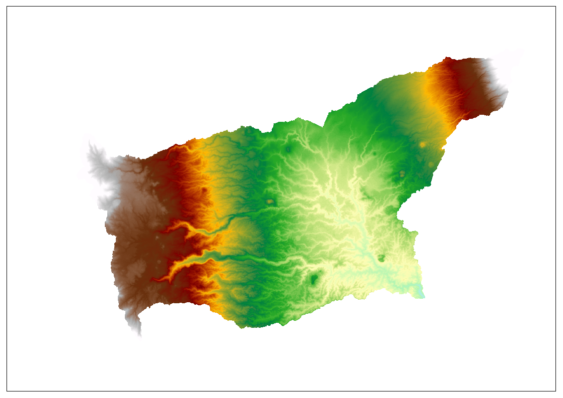
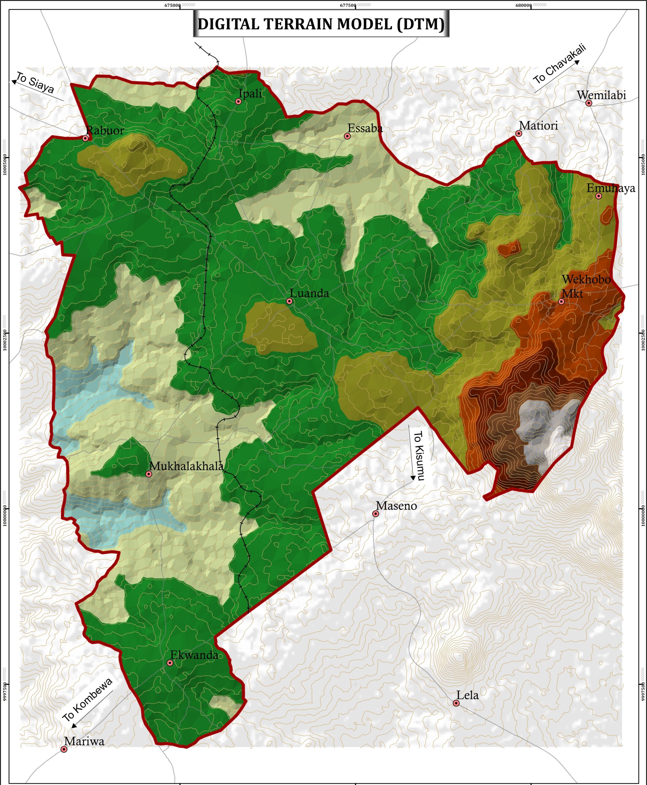
Aerial Photography
We provide Aerial Mapping Services using modern and lates UAVs in order to supply enough monitoring and planning data to the relevant stakeholders. We process to get end products such as DEM, DTM, DSM,3D models and othromosaics.
Data Analytics
We have designed multiple mordern house and master plans used for contruction of flats vilas, massionates and recreational facilities such as cinemas.