Our services
Topographical Mapping
At Anmart Developers LTD, we provide topographical mapping services across a variety of themes. Our team utilizes state-of-the-art technology to deliver accurate and reliable maps at both small and large scales. We are committed to delivering exceptional service and exceeding our clients’ expectations
Research & Developent
At Anmart Developers LTD, we conduct cutting-edge research and development in the field of environmental hydrology. Our team utilizes spatial and remote sensing data to explore emerging technologies and advance our understanding of this critical field. We are committed to delivering exceptional service and exceeding our clients’ expectations.
EIA
At Anmart Developers LTD, we offer comprehensive environmental and social impact assessment and audit services. Our goal is to accurately determine and present the potential environmental impacts of a project, identifying their form and magnitude. Our team of experts works closely with clients to ensure that all relevant information is considered and that the assessment is conducted in a thorough and rigorous manner.
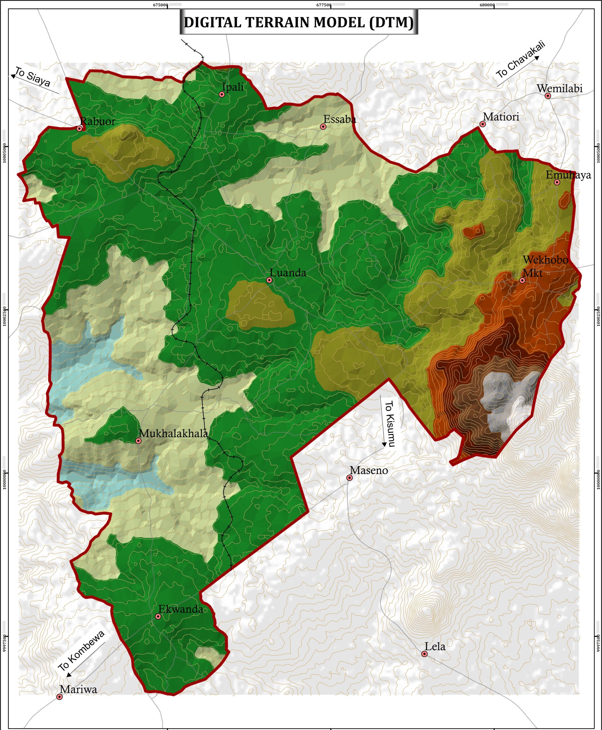
Topographical Mapping
At Anmart Developers LTD, we provide topographical mapping services across a variety of themes. Our team utilizes state-of-the-art technology to deliver accurate and reliable maps at both small and large scales. We are committed to delivering exceptional service and exceeding our clients’ expectations

At Anmart Developers LTD, we provide topographical mapping services across a variety of themes. Our team utilizes state-of-the-art technology to deliver accurate and reliable maps at both small and large scales. We are committed to delivering exceptional service and exceeding our clients’ expectations
GIS Analysis
At Anmart Developers LTD, we specialize in designing, developing and implementing customized GIS systems for a wide range of clients. Our team works closely with government and non-governmental agencies as well as small and medium-sized businesses to deliver tailored solutions that meet their specific needs.
Software Development
At Anmart Developers LTD, we offer custom software development services to meet the unique needs of our clients. Our team of experienced developers works closely with clients to understand their specific requirements and deliver tailored solutions that exceed their expectations.
Land & Engineering Survey
At Anmart Developers LTD, we offer comprehensive land and engineering survey services to meet the needs of our clients. Our team of experienced surveyors utilizes state-of-the-art technology and techniques to deliver accurate and reliable data for a wide range of applications.
R&D

At Anmart Developers LTD, we specialize in developing mobile applications for the collection, monitoring and evaluation of spatially related information. Our team works closely with clients to understand their specific needs and deliver tailored solutions that enable them to effectively manage their data. Our mobile applications are designed to be user-friendly and intuitive, making it easy for users to collect and analyze spatial data in real-time.
At Anmart Developers LTD, we specialize in processing remote sensing data to provide our clients with accurate and reliable information for decision-making. Our team of experienced professionals utilizes advanced software and techniques to analyze and interpret remote sensing data, providing our clients with spatially and statistically informed insights.

Our services
Aerial Photography
We provide high resolution aerial photographs data and satellite images that are clear and accurate to analyze.
SDI Implementations
we at offer organization a hand to set up their own geospatial infrastructure for effective management and analysis of their spatial data inhouse.
Consultants
We offer consultations to our clients in order to understand their specific requirements and provide tailored solutions that meet their needs
Surveying