Esri provides easy 3D scenes and VR experiences
Being able to access OpenStreetMap in the Esri software as a basemap has always been helpful, but those of us who use 3D data regularly have had to load the vector data and build the data, which is very time-consuming.

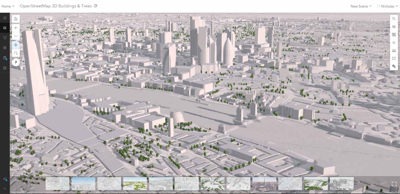
You can now simply go here and open an Esri 3D WebScene. These 3D scene layers feature global buildings and trees, with trees presented in two styles (realistic and thematic). These scene layers can be used in Scene Viewer, ArcGIS Pro, and other ArcGIS apps that support 3D visualization. Like with the OpenStreetMap vector basemap hosted by Esri, they build these 3D scene layers using the OpenStreetMap Daylight Map Distribution; this ensures compatibility and consistency when using the web scene data.
You can read the original article on Esri’s ArcGIS blog here.
That is not all. With the June release of ArcGIS Online, you can now create a 360 VR scene straight from your web scene. By simply clicking on the ‘create web app’ button, you can then begin creating a 360 VR experience.