Hosting 18% of the global population on just 2.4% geographical area, India is blessed with a rich diversity of climate, topography, natural resources, and socio-economic conditions. As a non-renewable ‘finite’ resource supporting primary production and social systems, land resources in India have been underperforming and over-exploited for long. About 78% of India’s geographical area is covered under agricultural and allied activities contributing 18% to GDP (2020), when compared with 40% contribution by other sectoral activities with land as principal component collectively.
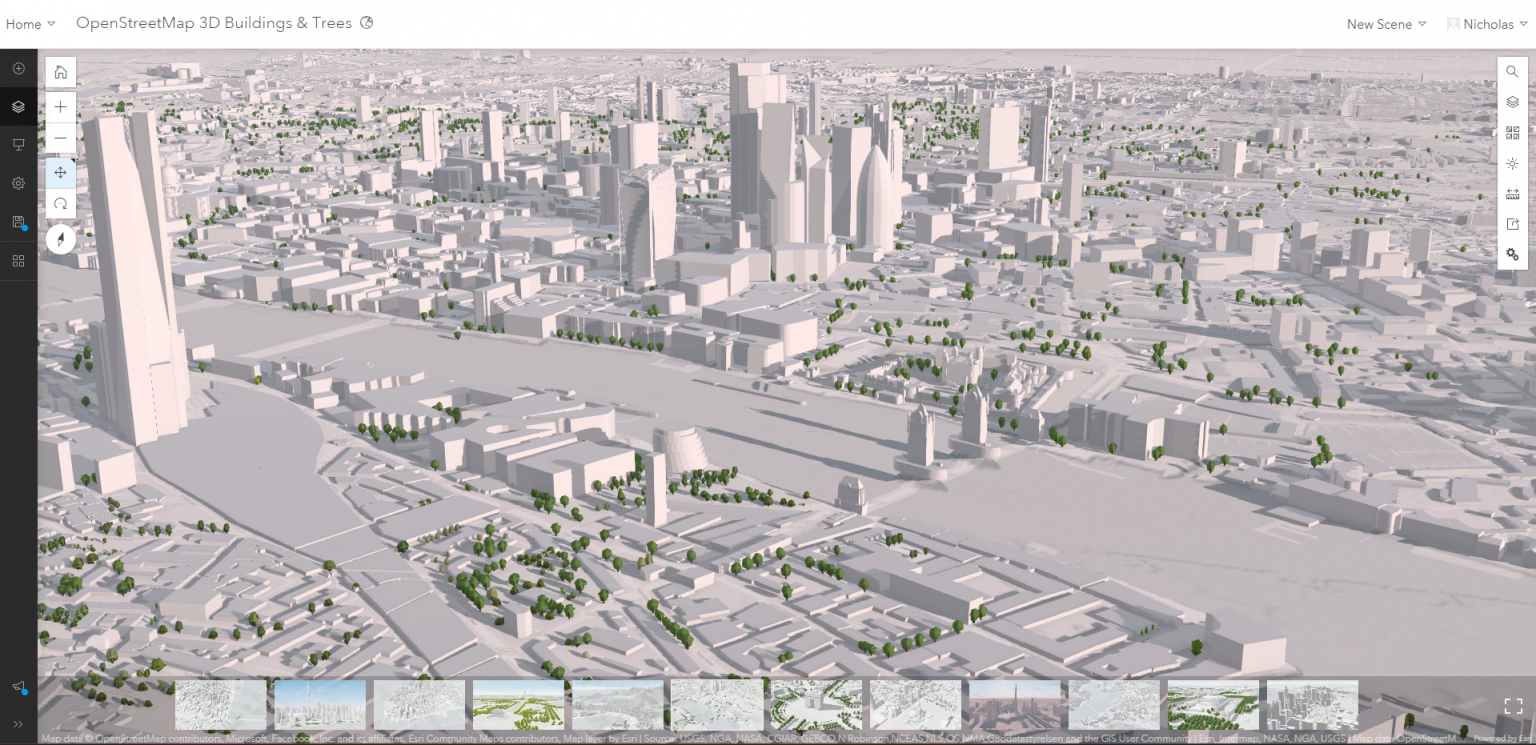
Being able to access OpenStreetMap in the Esri software as a basemap has always been helpful, but those of us who use 3D data regularly have had to load the vector data and build the data, which is very time-consuming.
Globally, organizations across industries are using big data to improve operations, manage supply chains, and enhance customer service experiences so that they can gain competitive advantage and boost profits. Spatial analysis of big data provides critical intelligence about where, when, and why Read More